Sandra Erwin

WASHINGTON — Over a two-day conference last week, U.S. military and intelligence officials were briefed on the capabilities of commercial spy satellites and how data from these satellites could be used in military operations.
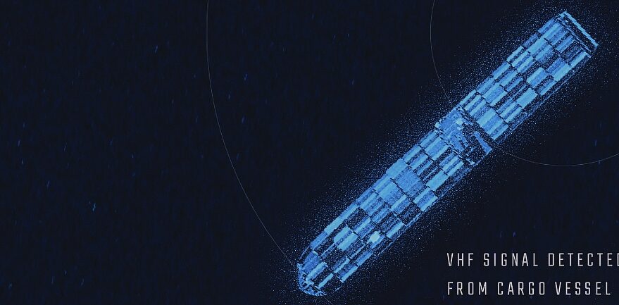
Defense and intelligence agencies are longtime customers of commercial imagery companies and their consumption of commercial imagery has increased during Russia’s invasion of Ukraine. But there is also an emerging demand for new types of data now being collected by commercial satellites, such as radar imagery, radio-frequency signals, maritime and aerial traffic data.
The ability to capture and analyze data from multiple sources, and turn it into useful intelligence, is known in military speak as tactical space-based ISR, short for intelligence, surveillance and reconnaissance.
More than 35 companies participated in the U.S. Space Force’s first industry day event May 19-20 focused on space-based ISR, a spokesperson said. The conference, held at an undisclosed location in the Washington, D.C. metro area, was organized by the Space Systems Command and the Aerospace Industries Association.
John Galer, assistant vice president for national security space at the Aerospace Industries Association, said the command selected a mix of new space and traditional defense firms to brief a group of about 50 government officials on the state of technology for space-based ISR.
“It was really an opportunity to have a conversation about what is available and what’s out there,” said Galer. “It was also an opportunity for Space Systems Command to talk about how they’re trying to do business in a different way.”
Speaking May 18 at the Center for Strategic and International Studies, the head of Space Systems Command Lt. Gen. Michael Guetlein said the tactical ISR industry day was part of a broader effort to better understand commercial industry capabilities which are advancing at a rapid pace.
The National Reconnaissance Office and the National Geospatial-Intelligence Agency acquire satellite imagery and data analytics services for the U.S. government. But the military is looking for ways to use satellites in direct support of battlefield operations, to track targets on the ground or ships at sea, for example.
The Space Force’s deputy director of intelligence, surveillance and reconnaissance Joseph Rouge said in February his office was tasked by Air Force Secretary Frank Kendall to examine how DoD could better use commercial capabilities for tactical ISR.
In support of this effort, the Space Systems Command is trying to figure out how tactical ISR would be procured from a diverse supplier base that includes satellite operators, sensor developers, data analytics firms and systems integrators.
The industry day was a first step in trying to define what tactical space ISR means and how it should be procured, said Galer. “Tactical ISR has not been precisely defined, and that’s probably one of the reasons they’re really having this conversation,” he said. “You have satellite providers, but also data analytics, cloud and artificial intelligence companies.”
Commercial companies that provide geospatial intelligence see the military’s interest in tactical ISR as a significant business opportunity.
No comments:
Post a Comment