By Udayan Das
The cartography of the world can be broadly understood in three ways. One can make sense of the world through its geographical demarcations — land and water, plateaus and peninsulas, seas and oceans. Another way of perceiving the world is through its political boundaries — continents and states, islands and territorial seas, continental shelves and exclusive economic zones. A third way of interpreting the map is through an imagination of a space that transcends both of the above. In simple terms, a mental map carved out of a space. An imaginative space of such kind might not find itself on the geographical map, like the Af-Pak region, nor does it always fits into existing political dimensions, for example the Asia-Pacific region.
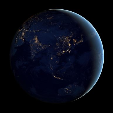
The Indo-Pacific is one such mental map that has gained currency in recent times. Like every imagined space, there is disagreement over what characterizes the space and who imagines it. In terms of geo-spatiality, the Indo-Pacific is broadly to be understood as an interconnected space between the Indian Ocean and the Pacific Ocean. Its expanse is debated to be ranging from the eastern shores of Africa to the western coast of the United States, albeit with variations in definitions depending on each actor and their own geographic positioning in the vast expanse. In a more functional understanding, the interconnectedness and the interdependence of the two oceans is a product of growing forces of globalization, trade and changing equations between various actors which has broken down older boundaries and opened up new avenues. Growing mobility across the oceans has helped formulate an integrated approach. Given that it contains the world’s most crucial sea routes, the world’s most populous nations fueling high energy demands on its rims and a stretch encapsulating finest global commons, the Indo-Pacific is adjudged to be the center of the globe in terms of politics and economics.
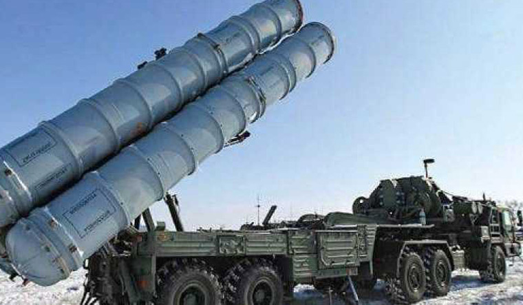 Indian authorities are keenly observing reaction from the United States after Russia delivered its S-400 missile system to Turkey. India too is scheduled to procure the S-400 missile systems from Russia.





/arc-anglerfish-arc2-prod-mco.s3.amazonaws.com/public/6PGOVY6FXVBIRFJFF6WRH37P2M.jpg)
